Malofatranská stovka 2026
SÁB, junio 27, 2026
·
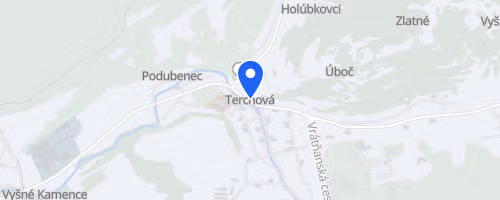
Terchová
, Eslovaquia
Distancias
34.5 km
53.1 km
112.4 km
Sobre esta carrera
Malofatranská stovka is an amateur ultra trail race in Slovakia’s Malá Fatra mountains. It features a 107 km MF100 route with approximately 7,300 m of elevation gain. The event comprises two mountain ultramarathons and one shorter trail race, all for solo participants. SLOVAK ULTRA TRAIL organizes the race with assistance from volunteers and partners. It is an ITRA member and annually seeks qualifying-race status for ITRA-linked events.
The MF100 begins in Terchová, largely following marked hiking trails across Krivánska Malá Fatra and Lúčanská Malá Fatra. A significant portion of the course crosses the Malofatranská magistrála within the protected Malá Fatra National Park. This section involves steep ascents, challenging descents, and exposed terrain requiring significant mountain expertise. Participants pass through Lipovec en route to the finish in Fačkov. The highest point is Veľký Kriváň at 1,709 m. The MF50 covers the initial segment of the long course, concluding in Lipovec after 56 km and around 4,400 m of climbing, with extended portions on forest and mountain hiking paths.
 © Mapbox · © OpenStreetMap
Terchová
Terchová