Roc de la Clusa Trail 2026
SUN, November 22, 2026
·
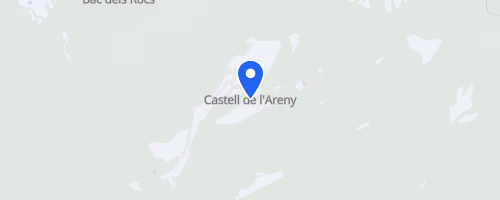
Castell de l'Areny
, Spain
Distances
18 km
About this race
The Roc de la Clusa Trail begins and ends in Castell de l'Areny, a small village in Catalonia's Alt Berguedà region, within Barcelona province. This 18 km mountain trail race covers approximately 1,200 m of elevation gain, utilizing forest paths and Pre-Pyrenean trails surrounding the village. The race is named after Roc de la Clusa, a local rock formation integral to the landscape it crosses.
The course is a loop connecting Castell de l'Areny to locations including Font Rodona, Pas de l'Escalell, Refugi de la Clusa, Puiglluent, Sant Julià de Cosp, and Coll Jovell. Participants ascend towards Puiglluent and Pla Fondo, pass through beech forests between La Clusa and Sobrepuny, and follow a ridge towards Pla de l'Orri, offering views of Cingles de Vallcebre and Pedraforca. A steep descent follows the Hermitage of Sant Julià de Cosp, and the event also features a pairs race linked to the Catllaràs meadows.
 © Mapbox · © OpenStreetMap
Castell de l'Areny
Castell de l'Areny