Trail Cap de Creus 2026
SUN, May 17, 2026
·
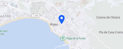
Roses
, Spain
Distances
11.4 km
22 km
44.3 km
80 km
About this race
Trail Cap de Creus starts and finishes in Roses, a seaside town in Girona, Catalonia, on Spain’s Costa Brava near the French border. It is a trail-running race with no road running in the listed course data: the terrain is 100% paths. Editions offer several distances, from shorter routes around 11 to 22 km through mid-distance races around 30 to 44 km and an 80 km ultra option. Listings place the race in the winter-to-spring part of the trail calendar, with later editions also pointing to mid-May.
The race climbs hard for a coastal event: listed routes include about 825 m of gain over 20.5 km, 1,227 m over 30.2 km, and roughly 1,710 to 1,900 m over the 40 km range. The route area links sea, mountains, cliffs, and the Cap de Creus landscape, matching the race’s own line: “From the sea to the sky and from the sky to the sea.” The event is part of the UTMB Index, appears in a National League listing, and carries Mountain Level 4 and Finisher Level 3 ratings, so it draws runners looking for real climbing rather than a gentle coastal jog.
 © Mapbox · © OpenStreetMap
Roses
Roses