Grand Trail de l'Izoard 2026
SAT, August 22, 2026
·
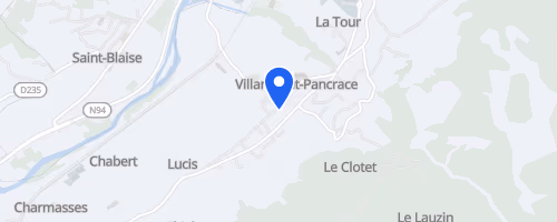
Villar-Saint-Pancrace
, France
Distances
12 km
26 km
Marathon
55 km
About this race
The Grand Trail de l'Izoard is a mountain trail-running event held in Villar-Saint-Pancrace, Hautes-Alpes, France, typically in late August. Participants can select from multiple distances, ranging from a short mountain race of 10 to 12 km to longer trail races approaching marathon length and exceeding it, with options over 50 km. The environment is high, steep, and alpine; Hautes-Alpes is France's highest and most mountainous department, meaning even shorter routes involve significant elevation gain.
The courses traverse wild paths within the Queyras regional park, featuring ascents, wooded areas, lakeside sections, and high-mountain vistas near the Izoard region. Notable course points include the Fort de la Croix de Bretagne and Rocher Mout. The shortest listed route, La Melezine, still ascends approximately 700 meters over its 12 km. The event, previously known as l'Ecolo Trail de l'Izoard, was established by Team High Trail Briancon with an ecological emphasis, urging runners to show consideration for wildlife, flora, farmers, herders, hunters, and others who share the mountain.
 © Mapbox · © OpenStreetMap
Villar-Saint-Pancrace
Villar-Saint-Pancrace