Les Monts du Haut-Livradois 2026
SUN, July 19, 2026
·
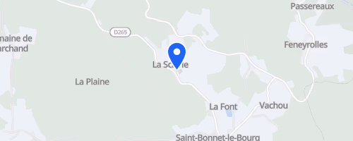
Saint-Bonnet-le-Bourg
, France
Distances
6 km
8.6 km
10 km
15 km
About this race
Les Monts du Haut-Livradois begins in Saint-Bonnet-le-Bourg, a small village in France's Puy-de-Dôme department, around mid-July. This event offers trail and road running at approximately 1,000 metres altitude, featuring several loop options instead of a single race. Recent listings show short routes of about 5 or 6 km, middle distances around 8.6 or 10 km, and a longer trail of 15 to 17 km. A children’s race is also part of the event, with the kids’ run designated as non-competitive.
The courses traverse a mix of roads and forest paths within the Monts du Haut-Livradois, facing the Monts du Forez. Participants run past fir, spruce, and Douglas trees, along with meadows and streams. The longest trail route has an estimated 400 metres of elevation gain, while other loop versions are situated between roughly 1,000 and 1,100 metres above sea level. This is a volunteer-organized village event with over twenty years of history. Following the awards ceremony, attendees can partake in a communal aperitif, purchase refreshments or takeaway meals, or picnic in the village's leisure area, which is equipped with tables, benches, a playground, and a pétanque court.
 © Mapbox · © OpenStreetMap
Saint-Bonnet-le-Bourg
Saint-Bonnet-le-Bourg