Trail de la galinette - Cadolive 2027
MON, January 25, 2027
·
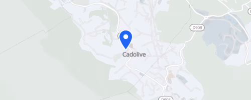
Cadolive
, France
Distances
12 km
26 km
30 km
44 km
About this race
The Trail de la Galinette begins in Cadolive, a village in the Bouches-du-Rhône department near Marseille, leading runners into the L'Etoile and Garlaban massifs of Provence. This trail-running event offers three course choices: La Brèche du Mont Julien at 24 km with 1,100 m elevation gain, and Les Drailles de la Galinette at 44 km with 2,200 m elevation gain.
The 24 km route starts with 2 km through Cadolive before a steep ascent toward Mont Julien. From this summit, views extend toward Marseille, Sainte-Baume, and Sainte-Victoire. The course then trends downhill, featuring technical sections, a short tunnel under the Route des Termes at km 9, and an aid station at km 10.5. A moderate climb towards Col de l'Amandier offers vistas of the Côte Bleue, the Etoile range, and Pilon du Roi, followed by a final aid station at Pichauris near km 18. The 44 km race shares the initial path with the 24 km course up to Col de l'Amandier, then proceeds further into the hills.
 © Mapbox · © OpenStreetMap
Cadolive
Cadolive