Trail de la Michaille - Châtillon-en-Michaille 2027
MON, March 22, 2027
·
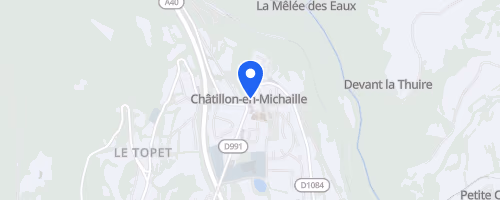
Châtillon-en-Michaille
, France
Distances
12 km
22 km
32 km
About this race
Trail de la Michaille is a mountain trail race held in Châtillon-en-Michaille, located in the Ain department of Auvergne-Rhône-Alpes, bordering the Jura and the Alps. The race is named after the Michaille plateau, which exceeds 500 meters in elevation above Valserhône. The routes are predominantly off-road, with approximately 90% of the course on paths. Participants can select a 12 km discovery trail, typically featuring around 360 to 370 meters of elevation gain, or the main Trail de la Michaille options of 22 km or 32 km, offering approximately 750 or 1,000 meters of climbing, respectively.
The courses traverse the Retord plateau, presenting terrain suited for mountain running rather than road racing. On clear days, views extend towards the Mont Blanc range. The 12 km race serves as an introduction for individuals new to mountain trail running, while the longer distances cater to runners seeking greater climbing challenges and extended time on the plateau. An accompanying 12 km walk shares the same approximate climbing total, making the event accessible to non-runners. The race holds ITRA Mountain Level and Finisher Level certification, is part of the National League, and the shorter event contributes to both the Challenge des Courses de l’Ain and the Challenge du Haut-Rhône.
 © Mapbox · © OpenStreetMap
Châtillon-en-Michaille
Châtillon-en-Michaille