Trail des Sangliers - La Roche-en-Ardenne 2027
SAT, March 20, 2027
·
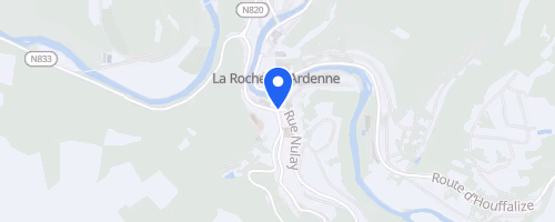
La Roche-en-Ardenne
, Netherlands
Distances
57 km
About this race
Trail des Sangliers is a hilly trail-running event held at the football field in Bérismenil, near La Roche-en-Ardenne in the Belgian Ardennes. Participants select from four marked routes of approximately 15, 26, 35, and 57 kilometers. The day offers distances ranging from a challenging short trail to a long mountain-style run. The shortest option includes about 582 meters of climbing, while the longest route ascends around 2316 meters, featuring technical sections across Ardennes terrain. Timing is managed by chips on bib numbers, and GPX files are provided for each distance.
The routes are marked with orange boards and black arrows, placed shortly before the event. However, the course is not fully closed to traffic, requiring runners to observe road rules where necessary. Aid stations are located approximately every 10 to 15 kilometers, providing water, sports drink, cola, fruit, and pastries. No disposable cups are provided; participants must bring their own reusable cup or bottle, or purchase an eco-cup. The event attracts a large trail-running field, utilizes the Bérismenil area for start, finish, and race office, and offers medals and T-shirts as optional paid extras.
 © OpenStreetMap
La Roche-en-Ardenne
La Roche-en-Ardenne