

Desolate Peaks 2026
SAT, August 22, 2026
·
South Lake Tahoe
, United States
Distances
Half Marathon
Marathon
About this race
Desolate Peaks takes place in the Desolation Wilderness southwest of Lake Tahoe. Because organized races are prohibited, the guide refers to it as “not an official event,” presenting it as a group outing into the mountains. It resembles an ultra-marathon with aid stations, drop bags, timers, a course guide, and volunteers coordinated by Mats Jansson. The standard route, The Beast, requires participants to reach 17 peaks within 30 hours, beginning and ending near Wright’s Lake. This course involves nearly 20,000 feet of elevation gain over approximately 40 miles. An 11-peak Fun Run and a 21-peak Beast + Lucifer’s Frolic are also offered. The latter adds South Maggie’s, North Maggie’s, Phipps, and an unnamed peak (9263) located at the northern edge of the wilderness.
The Beast route proceeds counter-clockwise, crossing Price, Agassiz, Pyramid, Cracked Crag, Keith’s Dome, Ralston, Talking Mountain, Becker, Flagpole, Echo, Angora, Cathedral, Tallac, an unnamed peak (9579), Dick’s, Jack’s, and an unnamed peak (9441). There is no prescribed path between these summits; runners may choose longer trails, shorter bushwhacks, exposed scrambles, talus fields, or technical ridges. The guide indicates the course is 47 percent trail, but most participants spend over half the time off-trail, typically between 7,000 and 10,000 feet in elevation. GPS data or geolocated photographs confirm summit visits, and two checkpoints allow access to drop bags or rest. Familiarity with the terrain is crucial, as heat, smoke, altitude, and minor navigational errors can transform a seemingly straightforward peak connection into a significant challenge.
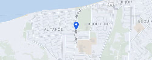 © OpenStreetMap
Twin Lakes in Kyburz, CA 95720
South Lake Tahoe