

TrainerDay
›États-Unis›Whites 100|2026·33 157Événements
FR▾
EnglishENPolskiPLDeutschDEItalianoITFrançaisFREspañolESSlovenčinaSK日本語JAMagyarHUΕλληνικάELPortuguêsPTNederlandsNLČeštinaCSNorskNOSvenskaSVDanskDASuomiFIБългарскиBG
Connexion S'inscrire
Accueil Entraînement Événements Forums
MAR
1
SEP
Course à pied·16.1 km

2026 ARM Runs this Town

Saint Paul, US
MAR
1
SEP
Course à pied·5 km

Global Nerve Foundation - You've got Nerve! 2026

Kennesaw, US
MAR
1
SEP
Course à pied·5.6 km

JPMorganChase Corporate Challenge San Francisco

San Francisco, US
MAR
1
SEP
Course à pied·80.5 km

Monster 50 Mile Challenge (September 2026)

ANYWHERE VIRTUAL, US
MAR
1
SEP
Course à pied·5 km

Move for Angola

Hillside, US
MAR
1
SEP
Course à pied·6.4 km

MRT 2026 1Mile-2 Mile-1 Mile

Statesville, US
MAR
1
SEP
Course à pied·5 km

Mullet Festival 5K Run/Walk & Fun Run

Lillian, US
MAR
1
SEP
Course à pied

Angels of Light - Wings in Motion

Millbrook, US
MAR
1
SEP
Course à pied·5 km

APWA PWX 5K

Houston, US
MAR
1
SEP
Course à pied·5 km

Apwa - Pwx 2026 - 5K

Houston, US
MAR
1
SEP
Course à pied·10 km

Big Island International Marathon 2027

Hilo, US
MAR
1
SEP
Course à pied·50 km

Burning Man Ultra

Black Rock City, US
États-Unis 2026 · 33 157 événements ✕
Course à pied road

Whites 100 2026

VEN, Septembre 11, 2026 · Shelburne , États-Unis

Distances

160.9 km

À propos de cette course

The Whites 100 begins and ends at the Wickersham Dome trailhead on the Elliott Highway, approximately one hour north of Fairbanks, Alaska. This is a 100-mile winter backcountry race crossing the White Mountains National Recreation Area. Participants can choose to race on foot, ski, or bike, with a 40-hour time limit to complete the loop. The event is not intended for casual participants; racers must demonstrate self-sufficiency in winter conditions and provide proof of recent experience in a long winter event to enter. The course proceeds counterclockwise, primarily utilizing partially maintained snowmachine trails, and involves over 8,000 feet of climbing. Racers will navigate rolling hills, black spruce forests, frozen lowlands, ridgelines, steep descents, and open terrain. Factors such as wind, drifting snow, Arctic cold, water crossings, and wildlife encounters may be present. Aid stations are positioned approximately every 20 miles, offering shelter, food, water, limited sleeping accommodations, and some medical or emergency assistance. Nevertheless, participants are expected to manage themselves for extended periods between these points. Notable features of the route include the ascent above treeline to Cache Mountain Divide, vistas of limestone formations, and the ice lakes – a mile-long frozen overflow section that can present challenges for footing or tires.
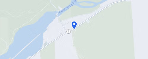
Whites 100 © OpenStreetMap
Mount Moriah
Shelburne
Itinéraire
Inscription → Sur le site officiel Rechercher sur Google

Météo typique SEP

19°C min 10°C
45mm précip moy
Doux — temps classique pour la course.

Veuillez vérifier les détails de l'événement avec l'organisateur avant de vous inscrire.

Modifier l'événement Ajouter manquant Signaler un problème