La Panoramique 2026
VAS, Június 14, 2026
·
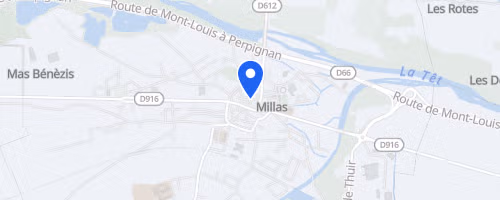
Millas
, Franciaország
Távok
5 km
7.5 km
17 km
Versenyről
La Panoramique begins under the plane trees on the promenade square in Millas, with bands playing as runners depart. It is a hilly 17 km race on small roads and paths, featuring 400 m of elevation gain, but it is not a mountain race and the route has no technical uphill or downhill sections.
After a short loop through the village, the course enters the garrigue, then climbs after 2.4 km of flat running to the Forca-Real chapel. From the high point, runners receive wide views over the Roussillon plain, the Canigou massif, the Mediterranean, and the Pyrenees, before returning toward Millas on a 6 km descent with a few short rises. The final 2 km are mostly flat through orchards, with one last small climb in the final kilometer before the finish. The route also passes vineyards, olive groves, and orchards, and it has been adjusted to avoid a road crossing for runner and volunteer safety.
 © Mapbox · © OpenStreetMap
Millas
Millas