Trail de Dabo 2026
UT, Jún 23, 2026
·
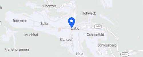
Dabo
, Francúzsko
Vzdialenosti
10.5 km
19 km
33 km
O tomto preteku
Trail de Dabo is a trail-running event held in Dabo, located in the Moselle region of Grand Est, near the Lorraine-Alsace border. Typically scheduled for late June, it features mountain and forest races, not road running. Participants can choose from 10.5 km, 19 km, and 33 km trail options, along with a 10.5 km Nordic walk. Specific races include the Trail du Renard (10.5 km), the Trail de la Zorn (19 km with 880 m elevation gain), and the Trail des Roches (33 km with 1,470 m elevation gain). Some event listings also mention a 42 km version with approximately 1,500 m of climbing.
The race is set within the sandstone landscape of the Moselle Vosges, with Dabo Rock serving as its symbol. This rock formation reaches 647 m and offers panoramic views from its summit. The courses traverse spruce, beech, and hornbeam forests, connecting numerous rocky and historical sites. These include Rocher des Corbeaux, Geisterfelsen, Heidenschlossfels, Rocher de la Paye, Jaegerhof, Herrenfels, Herrenmuhlen, the Spitzberg forest house, Grand Rosskopf, Backofenfels, and the ascent to Dabo Rock itself. Urstein marks the highest point on the course at 946 m, indicating that even the shorter routes are situated in hilly trail terrain.
 © Mapbox · © OpenStreetMap
Dabo
Dabo