Trail du col du Noyer - Poligny 2026
NE, Jún 21, 2026
·
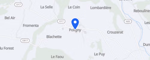
Poligny
, Francúzsko
Vzdialenosti
4 km
5 km
11 km
24 km
43 km
O tomto preteku
The Trail du col du Noyer - Poligny is a mountain trail series centered at the Laye resort in the French Alps. Races begin from the ski-area side of the village. The longest event, the UTCN, starts at 4 AM from the snow front, completing an 80 km loop with approximately 4,900 m of elevation gain. The Boucle des deux cols, also starting at 6 AM from the snow front, covers about 50 km with 3,100 m of gain. A distinctly different short race, the Montée du Pic de Gleize, commences near the former Lauzon ski lift, ascending directly for about 4 km and gaining 850 m to reach Pic de Gleize.
The courses are predominantly off-road, utilizing forest roads, hiking paths, ridges, mountain passes, and summit ascents. The UTCN incorporates only 1.5 km of paved road. The long course crosses Laye, La Fare, Poligny, Le Noyer, and Le Glaizil, connecting passes like Chapeau de l’Evêque, La Saume, Col du Noyer, Chétive, and Gleize, with ascents over Coste Belle, Girolet, Tourneau, and Gleize. The 50 km race follows the Coste Belle and Girolet ridges, joins the GR 93 towards Col de Chétive, descends to the abandoned village of Chaudun, and then climbs Pic de Gleize via the waterfall trail. Chaudun also provides the ultra with a unique aid station in a hamlet commemorating abandoned mountain villages. These races are part of Provence trail challenges, including ultra and long-distance circuits, and the Super Challenge FSGT.
 © Mapbox · © OpenStreetMap
Poligny
Poligny