TURIEC TRAIL 2026
SUN, July 19, 2026
·
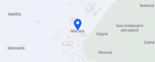
Blatnica
, Slovakia
Distances
15 km
41 km
Marathon
About this race
The Turiec Trail begins at the SNP Memorial in Blatnica, a village near Martin, Slovakia, leading runners into the Veľká Fatra mountains. This summer mountain race is part of the TURIEC RUN series, offering distances of approximately 13, 15, and 42 kilometers. The 42 km route is the most challenging, a marathon-distance course with around 1,900 meters of elevation gain. The 15 km Tlstá Ostrá course also includes significant climbing, with about 1,000 meters of ascent.
The routes traverse mountain terrain, distinct from a flat road race with added trail elements. The race names reflect the local geography: Veľká Fatra 42, Tlstá Ostrá 15, and Čertova Brána 13. The Čertova Brána, the shortest option, is noted in one source as being approximately 16.5 kilometers with about 250 meters of climbing, presenting the gentlest elevation profile. TURIEC.RUN organizes the event, which uniquely allows participants to run with dogs.
 © Mapbox · © OpenStreetMap
pamätník SNP - GPS: 48° 55´ N, 18° 56´ E
Blatnica