Trail Oisans-Matheysine 2026
VAS, Június 7, 2026
·
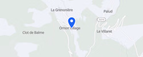
Ornon
, Franciaország
Távok
5 km
12 km
22 km
45 km
Versenyről
The Trail Oisans-Matheysine is a mountain trail race held at Col d'Ornon in Isere, situated between the Oisans and Matheysine regions of the French Alps. It takes place in June, featuring a long course of approximately 46 km with over 3,121 m of elevation gain, classifying it as a demanding alpine trail rather than a simple off-road run. The course begins at Gite Le Chantelouve at Col d'Ornon, crossing a mix of paths, forest tracks, and mountain singletrack.
The long course ascends steeply from the start towards Plan Col, accumulating 547 m to reach 1,869 m before a technical descent towards Moulin Vieux. Participants then encounter another significant climb to Pas de la Vache at 2,333 m, followed by high mountain segments near Lac Brouffier, Lac du Poursollet, and Lac Fourchu. The route also includes steep trails, alpine pastures, a lengthy descent towards Palud, and a final ascent to the finish. The event provides races for both long-trail and shorter-trail participants, with organizers emphasizing that all distances involve substantial elevation, making poles and grippy footwear advisable.
 © Mapbox · © OpenStreetMap
Ornon
Ornon