

Gran Fondo Internazionale Città di Fara in Sabina 2027
Sun, March 21, 2027
·
Fara in Sabina
, Italy
Distances
127 km
About this race
The Gran Fondo Internazionale Città di Fara in Sabina is a cycling event. The long route covers 127.00 km with an elevation gain of 2100 m. The provided map data indicates a route of 122.386 km with 4,268 m of climbing and 4,268 m of descent, with elevations ranging from 27 m to 901 m, and a duration of 263 hours, 56 minutes. There is also a shorter route of 84.352 km with 2,655 m of climbing and 2,654 m of descent, with elevations between 27 m and 514 m, and a duration of 162 hours, 46 minutes. The event starts and ends at coordinates 42.15225, 12.65245.
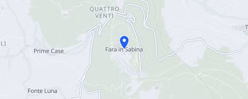 © OpenStreetMap
Passo Corese
Fara in Sabina