Trail des Ruthènes 2027
TUE, February 9, 2027
·
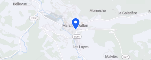
Marcillac-Vallon
, France
Distances
12 km
19 km
31 km
58 km
About this race
The Trail des Ruthènes is a semi-night trail race held in the Vallon de Marcillac, Aveyron, near Rodez. It takes place in early February, a time when the weather is often cold and unpredictable. Participants can choose from several distances, ranging from a 12 km option to longer routes of approximately 55-58 km. This event is firmly set in trail-running terrain, featuring natural paths, forest sections, and night running. The course includes sufficient climbing and rough ground, ensuring that even the shorter race demands more than a casual jog.
The race route crosses the countryside between Salles-la-Source and Marcillac. Depending on the specific edition, starts are located at Souyri or Pont-les-Bains, with all races finishing in Marcillac. Runners will encounter the Vallon's distinctive red Rougier soils and clay-limestone terrain, passing through small villages, hamlets, and alongside waterfall sections. This variety distinguishes it from a basic woodland circuit. The region's location at the convergence of three climate zones contributes to the diverse terrain and the unpredictable conditions typical of February.
 © Mapbox · © OpenStreetMap
Marcillac-Vallon
Marcillac-Vallon