Trail des Ruthènes 2027
KED, Február 9, 2027
·
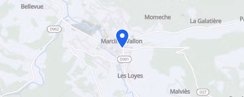
Marcillac-Vallon
, Franciaország
Távok
12 km
19 km
31 km
58 km
Versenyről
A Trail des Ruthènes egy féléjszakás trail futóverseny, amit a Marcillac-völgyben, Aveyronban, Rodez közelében rendeznek. Február elején van, amikor az időjárás gyakran hideg és előre nem mondható. Választhatunk több távot is, a 12 km-estől kezdve a 55-58 km-es hosszabb útvonalakig. Ez egy igazi trail futóverseny, természetes ösvényekkel, erdős részekkel és éjszakai futással. A pálya elegendő emelkedővel és nehéz tereppel rendelkezik, így még a rövidebb táv is több, mint egy egyszerű kicsit futás.
Az út Salles-la-Source és Marcillac között húzódik. A rajtok helye attól függ, hogy milyen kiadást nézünk: Souyri vagy Pont-les-Bains, de minden futás Marcillacban ér véget. A futók a Vallon jellegzetes vörös Rougier talaján és agyagmeszetes terepen futnak, kis falvak, pusztafalvak és vízesések mellett. Ez nem egy egyszerű erdő körüli pálya, hanem igazi változatos terep. A régió három éghajlati övezet találkozásánál fekszik, ami hozzájárul a terep sokszínűségéhez és a februárra jellemző előre nem mondható körülményekhez.
 © Mapbox · © OpenStreetMap
Marcillac-Vallon
Marcillac-Vallon