Trail des Ruthènes 2027
TER, Fevereiro 9, 2027
·
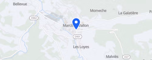
Marcillac-Vallon
, France
Distâncias
12 km
19 km
31 km
58 km
Sobre esta prova
O Trail des Ruthènes é uma prova de trail noturna (ou semi-noturna) que rola no Vallon de Marcillac, perto de Rodez, no Aveyron. É em fevereiro, época que costuma ser fria e imprevisível, com tempo que pode mudar de uma hora pra outra. Tem opções de distância, desde um 12 km até percursos mais longos de uns 55-58 km. É trail puro: trilhas naturais, trechos de floresta e trecho noturno. Tem subidas e terreno técnico, então mesmo o mais curto não é moleza.
O percurso liga Salles-la-Source a Marcillac, com largadas em Souyri ou Pont-les-Bains, dependendo da edição. Os corredores passam por terras vermelhas do Rougier, solo argiloso-calcário, vilarejos pequenos e até trechos com quedas d'água. Não é só floresta, tem variedade. A região fica na junção de três zonas climáticas, o que explica o terreno diverso e o clima imprevisível de fevereiro.
 © Mapbox · © OpenStreetMap
Marcillac-Vallon
Marcillac-Vallon