Trail de la Montagne de Reims 2027
DOM, marzo 14, 2027
·
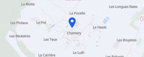
Chamery
, Francia
Distancias
15 km
30 km
Sobre esta carrera
El Trail de la Montagne de Reims sale y llega a la cooperativa de vinos de Chamery, un pueblo en medio de los viñedos de Champaña cerca de Reims. La carrera, organizada por la Asociación Trail-Aventures, tiene dos distancias: La Pétillante, unos 16 km con 400 m de desnivel, y L’Effervescente, unos 33 km con 800 m de desnivel. La corta es un solo bucle, mientras que la larga son dos bucles, así que hay que ir más preparado.
La ruta es casi toda por senderos, con pistas de bosque, caminos de viñedos y single track, sin mucho asfalto. La larga incluye tramos con pasos de agua, así que no solo hay que subir, sino también mojarse. Hay cupo limitado: 650 dorsales para los 16 km y 350 para los 33 km, y no se puede inscribirse ni cambiar el dorsal el día de la carrera. La asistencia es básica: en la corta hay comida al final, y en la larga hay un avituallamiento en ruta. Los cruces de carretera están controlados, hay marcas numeradas para emergencias, y animan a compartir coche para reducir la huella.
 © Mapbox · © OpenStreetMap
Chamery
Chamery