Trail de la Montagne de Reims 2027
DOM, Marzo 14, 2027
·
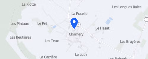
Chamery
, Francia
Distanze
15 km
30 km
Informazioni su questa gara
Il Trail de la Montagne de Reims parte e arriva alla cooperativa vinicola di Chamery, un paesino in mezzo ai vigneti dello Champagne vicino a Reims. L’evento, organizzato dall’Association Trail-Aventures, propone due distanze: La Pétillante, circa 16 km con 400 m di dislivello, e L’Effervescente, circa 33 km con 800 m di dislivello. La corsa corta è un unico giro, mentre quella lunga prevede due giri, quindi serve più autonomia.
Il percorso è quasi tutto sterrato, con sentieri nel bosco, tra i filari e qualche tratto di singletrack. La distanza lunga ha anche dei guadi, quindi oltre alle salite e ai vigneti, ci si bagnano i piedi. I posti sono limitati: 650 per i 16 km e 350 per i 33 km, senza ritiro pettorali sul posto o passaggi. Il supporto è essenziale: per la corta c’è da mangiare al traguardo, per la lunga c’è un ristoro lungo il percorso. Le strade sono controllate, i segnali numerati aiutano i soccorsi, e si consiglia il carpooling per ridurre l’impatto.
 © Mapbox · © OpenStreetMap
Chamery
Chamery