Trail de la Montagne de Reims 2027
VAS, Március 14, 2027
·
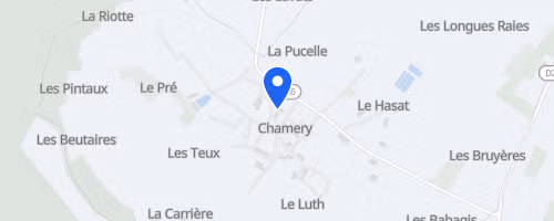
Chamery
, Franciaország
Távok
15 km
30 km
Versenyről
A Trail de la Montagne de Reims versenyt a Chamery-i bortermelő szövetségnél kezdik és fejezik be, egy kis faluban, Reims közelében, a Champagne borvidéken. Az Association Trail-Aventures szervezi ezt az időmérő trail eseményt, két távval: a 16 km-es La Pétillante-nél kb. 400 m emelkedés vár, míg az 33 km-es L’Effervescente-nél 800 m. A rövidebb táv egy kör, a hosszabb kettő, ahol már több önállóságra van szükség.
A pálya főleg off-road, erdőutakon, borvidéki ösvényekön és keskeny singletrackeken halad, nem sok aszfaltozott szakasszal. A hosszabb távon még vízátkelésekkel is kell számolni, nem csak borvidék futással és emelkedőkkel. A rajtszámok korlátozottak: 650 a 16 km-re, 350 a 33 km-re, és nincs helyszíni regisztráció vagy rajtszám átadás. A támogatás egyszerű: a rövid távon csak a célban kapnak ételt, a hosszú távon egy segélyállomás van a pályán. A útkereszteződéseket őrzik, a pályát számozott jelzőkkel látták el, hogy a mentőszolgálat könnyebben találja a futókat, és a szervezők javasolják a közös autózást, hogy csökkentsék a közlekedési hatást.
 © Mapbox · © OpenStreetMap
Chamery
Chamery