Trail de la Montagne de Reims 2027
NE, Marec 14, 2027
·
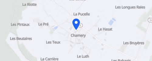
Chamery
, Francúzsko
Vzdialenosti
15 km
30 km
O tomto preteku
Trail de la Montagne de Reims začína a končí pri vinárskej kooperatíve v Chamery, malej dedine v champanských vinohradoch blízko Reims. Organizuje ho Association Trail-Aventures a ponúka dve trasy: La Pétillante s približne 16 km a 400 m stúpania a L’Effervescente s 33 km a 800 m stúpania. Krátka trasa je jedna kľúčová, dlhšia sa skladá z dvoch kôl, takže si musia bežci na nej viac dbať o vlastnú samostatnosť.
Trasa je hlavne off-road, vedie lesnými chodníkmi, vinohradnými cestami a úzkymi singletrackmi, takže asfaltu je minimum. Na dlhšej trase sú aj sekcie s prechodmi cez vodné toky, takže bežci majú naviac na starosti aj mokré úseky okrem stúpaní. Kapacita je obmedzená na 650 startovných čísiel pre 16 km a 350 pre 33 km, ani jedno neumožňuje prihlásenie na mieste alebo predávanie startovného. Podpora je jednoduchá: na krátkej trase je jedlo na finiši, na dlhej je jedna pomocná stanica. Prechody cez cesty sú dohliadnuté, čísla na trase pomáhajú záchranným službám lokalizovať bežcov, a organizátori odporúčajú carpooling, aby sa znížili emisie z cestovania.
 © Mapbox · © OpenStreetMap
Chamery
Chamery