Trail de la Montagne de Reims 2027
日, 3月 14, 2027
·
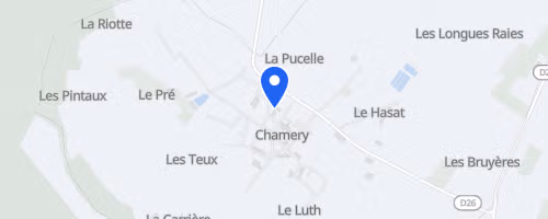
Chamery
, France
距離
15 km
30 km
レースについて
The Trail de la Montagne de Reims begins and ends at the wine cooperative in Chamery, a village within the Champagne vineyards near Reims. This timed trail event, organized by Association Trail-Aventures, offers two race distances: La Pétillante, approximately 16 km with 400 m of elevation gain, and L’Effervescente, approximately 33 km with 800 m of elevation gain. The shorter race is a single loop, whereas the longer race consists of two loops, requiring greater self-sufficiency from participants.
The course remains primarily off-road, utilizing forest paths, vineyard tracks, and narrow singletrack instead of extensive paved sections. The longer distance includes sections with white-water crossings, adding a wet element beyond just vineyard running and ascents; participants must navigate these wet areas in addition to the climbs. Field sizes are limited to 650 bibs for the 16 km and 350 for the 33 km, with no on-site registration or bib transfers permitted. Support is straightforward: the short race provides food at the finish, and the long race includes one aid station on the course. Road crossings are supervised, numbered course markers assist emergency services in locating runners, and organizers promote carpooling to reduce travel-related emissions.
 © Mapbox · © OpenStreetMap
Chamery
Chamery